Trail number
14
Trail length
4.5 kilometres
Elevation variance
100 metres
Trail type
Single trail
Trail surface
Smooth dirt, rocks and rock outcrops
Weather affected
Prone to be muddy after heavy rain
Trail condition sources
Trail features
Berms, jumps, drop offs, board walks
Trail obstacles
Long rock garden section


Trail rating
Intermediate, Difficult
Rating basis
IMBA
Night riding
Great for night riding. Access via southern trails from Sandy Creek Road car park after park hours. The park is open from 7.00am to 5.00pm outside of daylight savings and 7.00am to 6.00pm during daylight savings. Rock garden section should probably be walked at night unless you are very experienced.
Family Friendly
Younger MTBers could readily ride the bermed section at the south western end of the ride. The trail north of this has some very technical sections and is not suitable for younger MTBers.
Click Image For Trail Map
No GPX download
Junction Track runs for 4.3km in the northern section of the Kurrajong Mountain Bike Area and joins the Stockyards and Kurrajong Mountain Bike Areas. The photos taken below run southwards from the Stockyards area towards Chainsaw Track.
Junction Track is suitable for more experienced riders. It was a Blue (Intermediate) trail but the middle rock garden section has been upgraded to Black (Difficult) as part of the 2011 Storm Recovery works. The first section of trail consists of a meandering section of trail with lots of lightly bermed corners through natural bushland (as opposed to the plantation style further down the trail) and a number of boardwalk sections over low ground.
The middle section of the trail has a number of rock gardens and other technical sections for the more experienced rider - if unsure of your ability walk these sections as required as some of the rock gardens are quite long.
 |
 |
 |
|---|---|---|
First section heading down through slightly bermed sections and boardwalks |
||
 |
 |
 |
|---|
 |
 |
 |
|---|---|---|
Nice bermed trails through native woodlands |
||
 |
 |
 |
|---|---|---|
Coming up unto Great Circle Drive |
||
 |
 |
 |
|---|---|---|
The pictures above and below show the Black Diamond rock garden sections. This section was changed during the 2011 storm recovery works. |
||
 |
 |
 |
|---|
 |
 |
 |
|---|---|---|
Lots of rocky sections and drop offs coming into Great Circle Drive crossing. |
||
 |
 |
 |
|---|---|---|
Heading into the heavily bermed plantation section. |
||
 |
 |
 |
|---|---|---|
Berms, jumps and board walks |
||
 |
||
|---|---|---|
Raised boardwalk coming into Chainsaw Track. Helped build this as part of the Storm Recovery works. |
||
 |
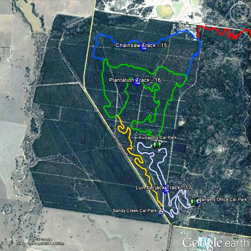
Parking is available at Sandy Creek Road, Rangers Office and Kurrajong Picnic Area. Access at northern end can be obtained from Great Circle Drive trailhead - parking is very limited here. Note that best access at night is from Sandy Creek Road entrance. |
|---|---|
 |
Toilet facilities are available at Drysdale Road and Kurrajong Picnic Area. |
 |
No drinking water is available. |
 |
No food or drinks are available in the immediate area. |
 |
No local information facilities are available. |